After staying next to the highest peak in the contiguous United States (Mt. Whitney), we headed to the lowest point in North America-Death Valley just a little over 2 hours away. To get there we crossed through Panamint valley. To get there, on must follow a long winding road down to the bottom and we even saw some fighter jets training in the valley. They have to navigate successfully through the valley using instruments only. They were so fast I couldn't get a picture of them.

You could walk/bike to an overlook.

The first town we came to in Death Valley was Stove Pipe Wells. They had a general store where you could buy ice cream and they had this sign.

100 °F temperature at the ranger station. Keep in mind this is mid September. Our car thermometer read 108 °F when we got deeper into the valley.

Get gas before you head into the Death Valley.

Our second stop was at bad water basin which is the lowest point in the Western Hemisphere (although most of death valley national park is below sea level also). As you can tell by the sign it is 282 ft below sea level.

To show you what that means, they have a sign on the cliff behind indicating sea level. Its circled in white for you to see. 200 ft is about as deep as any sane scuba diver would ever attempt breathing regular atmospheric air under water. Of course, with air around you its different haha. The dead sea is 1,371 ft below sea level and is the lowest point on land in the world.

Bad water is named after an explorer who allegedly led his mules to drink from the water here. When they did not, he said it must have been bad water. It was actually just very satly (as I'll explain below). There is a path way to go out onto the salt flats from the road.

Its amazing how much salt there is! One can dig about a half foot down all the way down until water is reached and it will all be salt. It forms during rare rainfalls where water washes down minerals to the lowest spot in the valley. It also used to be a lake a long time ago. When the mountains rose up and started to produce a hotter climate the water evaporated leaving the basis of the salt.

We walked maybe about a half mile in the 108 °F heat and the salt just keeps on going. As I was walking I mused that such high temperatures (above the body's set point of 98.2° ± 0.7°F) are unique because heat is being transferred into your body. Therefore, it must not only dial back its metabolism to generate less heat of its own but get rid of this extra heat by convection (a.k.a. sweat). The commonly cited temperature for heat stroke death is 105 °F. This is a view looking back on our path. You can see the path where all the people walked on.

Close up view of the salt (and other minerals) it forms all kinds of cool growth formations.

We also visited a Borax mine. It was the most profitable commodity that could be mined in Death Valley (although they tried to mine precious metals). Below is a picture of the 20 mule team used to haul the mineral out of the valley. On the back is a tank for water.


Near our campsite was Furnace Creek Inn. It must be built on an aquifer or something because it has a lot of plants growing in contrast to the dessert around it. Remarkable to see.

It even has a pool, probably the best way to cool off in the extreme heat. Swimming in your clothes keeps you cool longer. My very thick shorts were dry by the time I went to bed in a few hours. It is recorded that the person responsible for measuring the hottest temperature in the world wet a turban before going outside to look at the thermometer and by the time he got back inside, it had dried completely.

The courtyard of the inn.

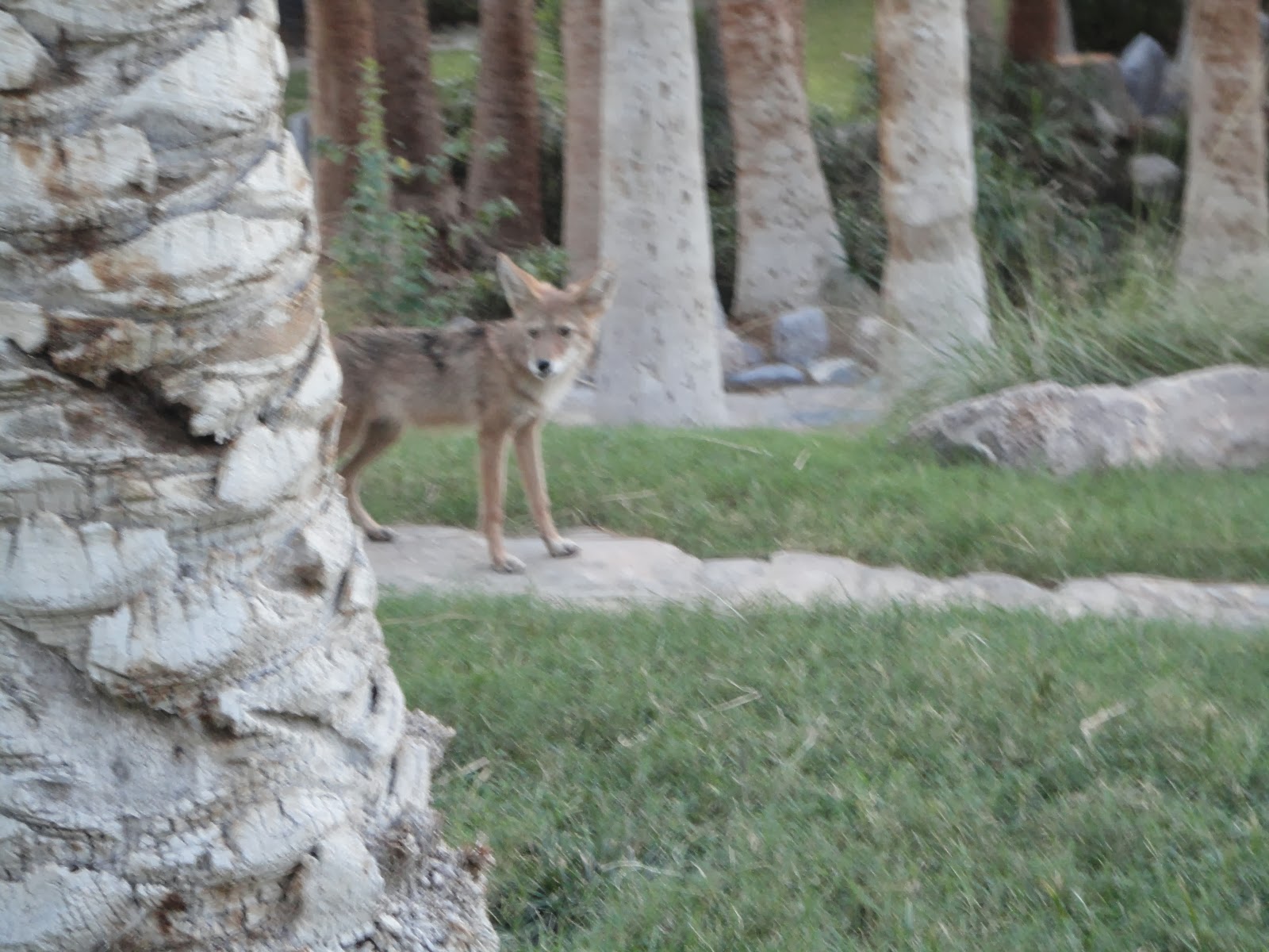
Coyotes also visited the courtyard to eat the dates.

Me enjoying a meal at our campsite.

The sunset was beautiful.


Like I said in a previous post, there is nothing like a full moon in the dessert.


While we were eating, what I think to be a desert kangaroo rat. It was really fast.


No comments:
Post a Comment